By Maurice Champagne, Docent Class of 2004
While researching parks for a Parks by Bus tour some years ago, I stumbled across a “Meeting of the Waters”—the Chicago River and the North Shore Channel—in Chicago’s River Park. I was looking at water overflowing a concrete dam on the river. What gives? Not very friendly for boaters and impossible for fish trying to swim up-stream to spawn! The reason, I discovered, lay in the straightening of the Chicago River.

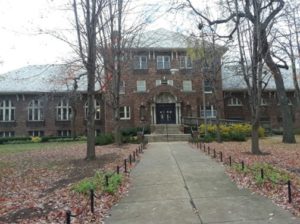
Encompassing 30 acres, River Park— located between Foster and Lawrence Avenues—opened in 1917. Clarence Hatzfeld designed the 1927 fieldhouse, one of the 19 that he designed for parks on the North Side. The dam, built in 1910, predates the park.
The original purpose for the development of the 1910 North Shore Channel was to flush sewage into the Chicago River and downstream into the South Branch and beyond. To accomplish this, the Chicago River had to be straightened and deepened from Lawrence to Belmont, some 16 city blocks.
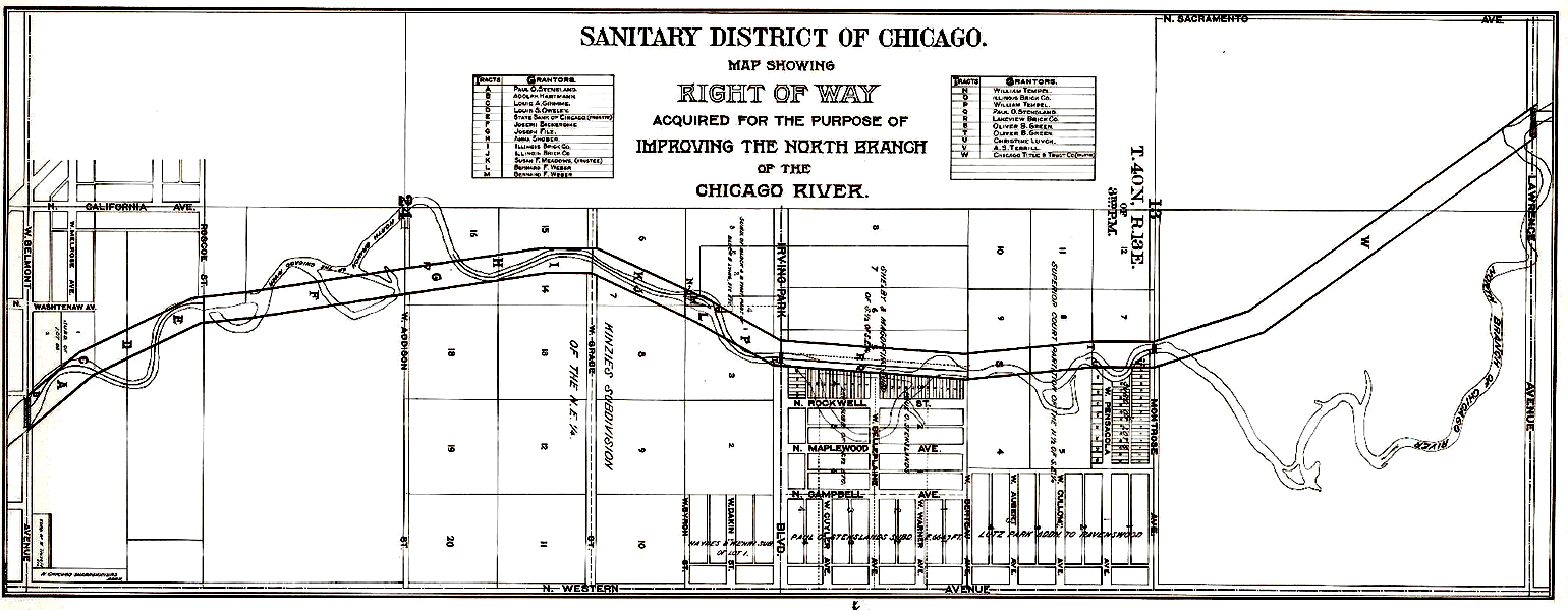
From 1901 to 1907, the Sanitary District of Chicago bought land and hired contractors to first fill in the old riverbed, then dig a 2.2-mile canal to become the newly straightened Chicago River.

^ Belmont Avenue ^ Irving Park Road Lawrence Avenue ^
In the map, you can see the original meandering of the Chicago River and the overlay of the straightening as the river goes from the right to the left on the map. This section of the Chicago River was a shallow stream.
In The Chicago River: A Natural and Unnatural History, Libby Hill writes, “In the vicinity of today’s Wilson Avenue, it was a ‘weedy ditch, harboring a few small islands,’ Mr. Haual, a former resident, remembered. ‘[It] overflowed its low banks in spring and extended for about an eighth of a mile in each direction.’” A smelly swamp!
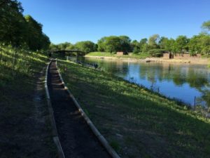
In 2019, the City of Chicago demolished the 1910 dam. (CLICK HERE for a video.) The demolition was part of an extensive river and parks improvement that opened a passage for fish to swim upstream, replaced non-native grasses and wildflowers, and established savanna on riverbanks and parkland natural areas.
“We are happy to say that those improvements are coming to fruition with the removal of the concrete,” said Margaret Frisbie, executive director of Friends of the Chicago River. “Today the area where the dam was located is an inspiring, more natural place that is yet another symbol of the revival of our great Chicago River system.”
I hope you’ll soon be able to visit River Park and enjoy the ‘new and improved’ parkland and river.
Resources:
Map Source: Metropolitan Water Reclamation District of Chicago, c. 1903
The Chicago River: A Natural and Unnatural History, by Libby Hill, p. 125
US Army Corps of Engineers website: https://www.lrc.usace.army.mil/Media/News-Stories/Article/1922510/gone-river-park-dam-one-year-later/


Thanks, Maurice, for a lovely addition to knowledge about the river. I never knew anything about this.